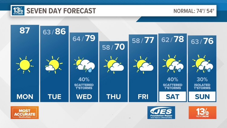
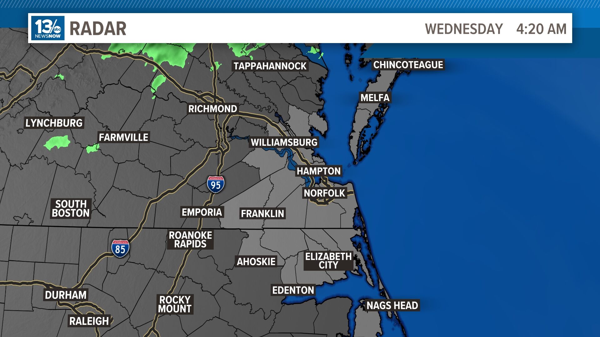
Forecast
Weather Headlines
- Midwest tornadoes flatten homes in Nebraska suburbs and leave trails of damage in Iowa
- It's a cool Friday in Hampton Roads, but a warming trend will arrive in time for Sunday
- What April tropical disturbance indicates about 2024 Atlantic hurricane season
- Hampton receives $1.3 million in federal funds to reduce flooding
- April weather sees record high temperature in Norfolk, record low in Elizabeth City
10-Day Forecast
Mon
Apr 29
87
65
2%
12
MPH
WSW
Sunny. Highs in the upper 80s and lows in the mid 60s.
52%
Very High
6:12 AM
7:52 PM
Tue
Apr 30
86
67
5%
14
MPH
SW
Plenty of sun. Highs in the mid 80s and lows in the upper 60s.
51%
Very High
6:10 AM
7:53 PM
Wed
May 01
77
60
62%
10
MPH
SW
Showers and thunderstorms. Highs in the upper 70s and lows in the low 60s.
67%
High
6:09 AM
7:54 PM
Thu
May 02
71
58
8%
10
MPH
ENE
Mix of sun and clouds. Highs in the low 70s and lows in the upper 50s.
70%
Very High
6:08 AM
7:55 PM
Fri
May 03
68
58
7%
13
MPH
ENE
Considerable cloudiness. Highs in the upper 60s and lows in the upper 50s.
73%
High
6:07 AM
7:55 PM
Sat
May 04
69
58
24%
13
MPH
E
Considerable cloudiness. Highs in the upper 60s and lows in the upper 50s.
68%
High
6:06 AM
7:56 PM
Sun
May 05
72
62
49%
11
MPH
SE
Showers possible. Highs in the low 70s and lows in the low 60s.
70%
Moderate
6:05 AM
7:57 PM
Mon
May 06
75
62
58%
10
MPH
SSW
Showers possible. Highs in the mid 70s and lows in the low 60s.
70%
High
6:04 AM
7:58 PM
Tue
May 07
79
63
24%
11
MPH
WSW
Mix of sun and clouds. Highs in the upper 70s and lows in the low 60s.
60%
Very High
6:03 AM
7:59 PM
Wed
May 08
76
61
41%
11
MPH
WNW
Afternoon showers. Highs in the mid 70s and lows in the low 60s.
60%
Very High
6:02 AM
8:00 PM
Hourly Forecast
8 AM
Mon
68°
2%
10
MPH
WSW
9 AM
Mon
71°
1%
12
MPH
WSW
10 AM
Mon
74°
1%
12
MPH
WSW
11 AM
Mon
78°
1%
12
MPH
WSW
12 PM
Mon
81°
0%
12
MPH
WSW
1 PM
Mon
82°
0%
11
MPH
WSW
2 PM
Mon
84°
0%
11
MPH
WSW
3 PM
Mon
85°
0%
11
MPH
WSW
4 PM
Mon
85°
0%
11
MPH
WSW
5 PM
Mon
86°
0%
10
MPH
WSW
6 PM
Mon
85°
0%
10
MPH
SW
7 PM
Mon
83°
0%
10
MPH
SW
Weather Maps
Radar
Radar
Local Temperatures
High Temperatures
Low Temperatures
Feels Like Temperatures
National 24 Hour Temperature Change
24 Hour Temperature Change
FutureCast 3 hour
FutureCast 6 hour
FutureCast 9 hour
Peak Wind Gusts
Dewpoints
Humidity
Daily Rainfall
Sea Surface Temperatures
Visibility
Severe Storm Outlook - Today
Severe Storm Outlook - Tomorrow
Severe Storm Outlook - Day 3